The Gorham Recreation Department provides maps of the 15 public recreation trails in the town on their website. These maps show the trails at the neighborhood scale, but they do not do a very good job of showing the location of each trail at the town scale. Unless you are very familiar with the town and pay careful attention to the trail maps, it can be difficult to find some of these trails.
Recently I found myself in Gorham Village on a nice afternoon, and I decided to go for a hike on the Tannery Brook Park trails. I didn’t look at the map ahead of time, but I thought I had a good understanding of where the trail was.
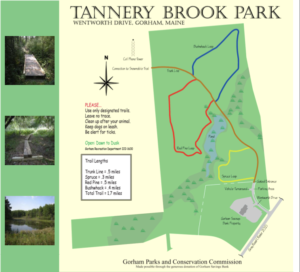 |
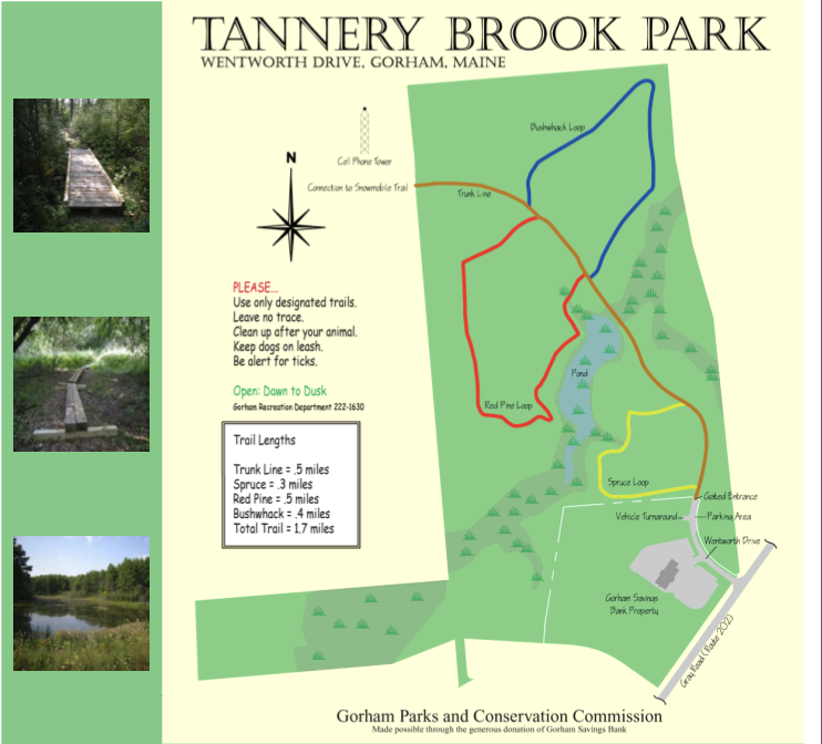
| Source: Gorham Parks and Conservation Commission |
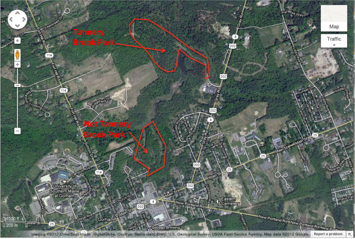
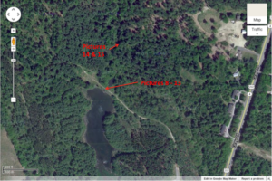
The Gorham Recreation trail map shows the Tannery Brook Park is located behind Gorham Savings Bank on Wentworth Drive. Since I didn’t consult the map before going out for a hike, when I found myself on Water St., I thought a street that begins with a “W” next to the Gorham Savings Bank must mean I’m on the right track. I followed the street to the woods, then proceeded to hike along a trail.
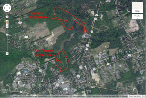 |
| Map 1 |
Turns out it was the wrong trail!
 |
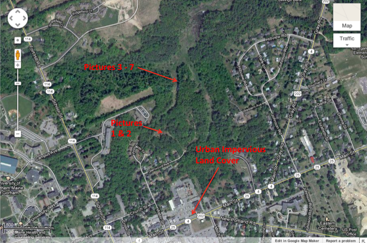
| Map 2 |
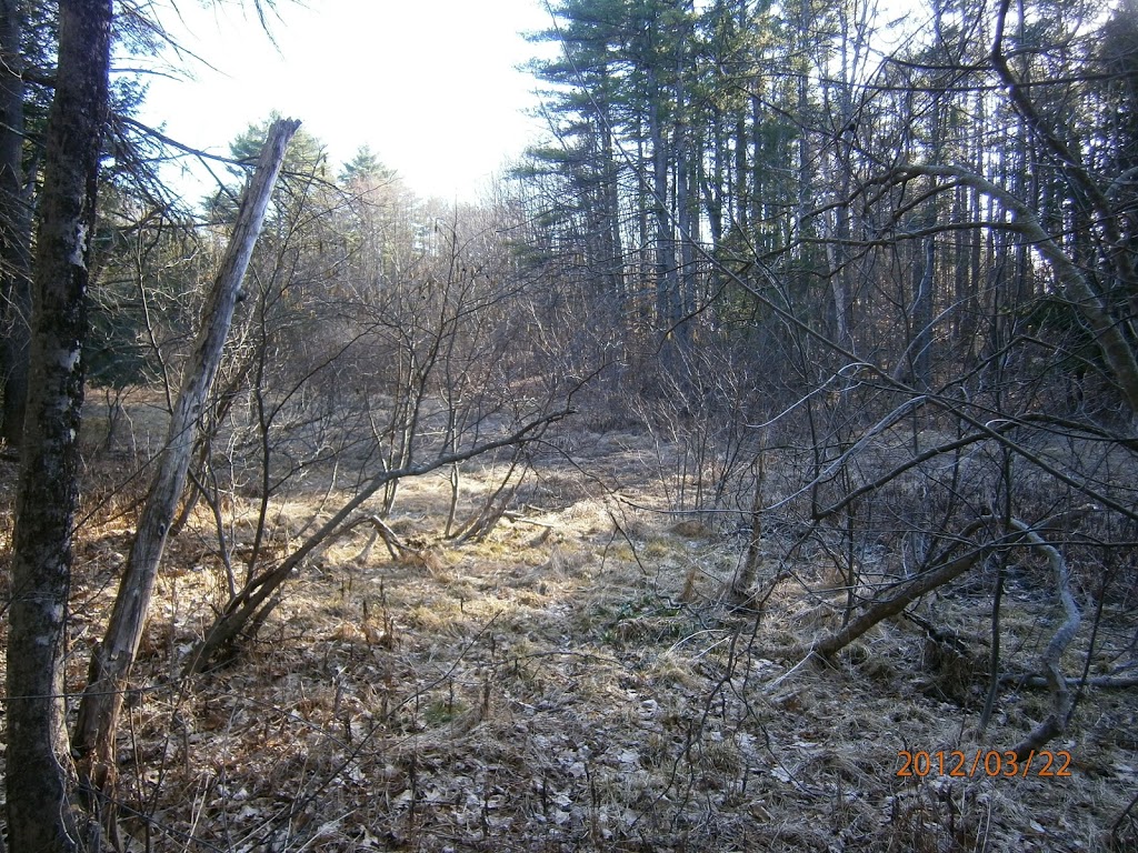
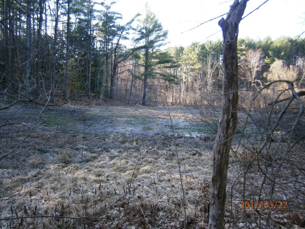
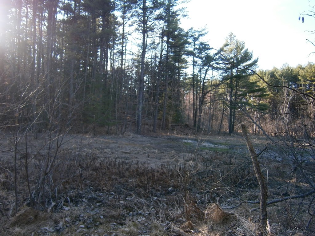
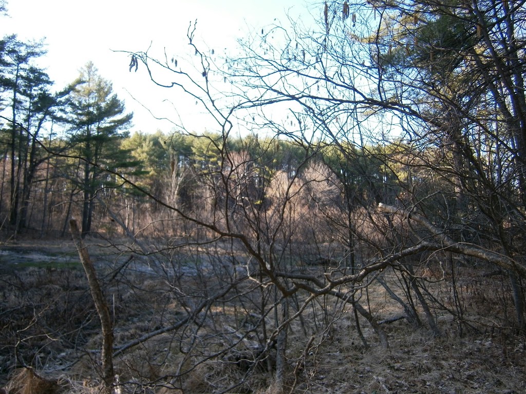
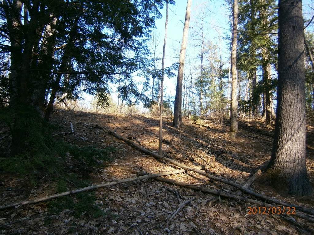
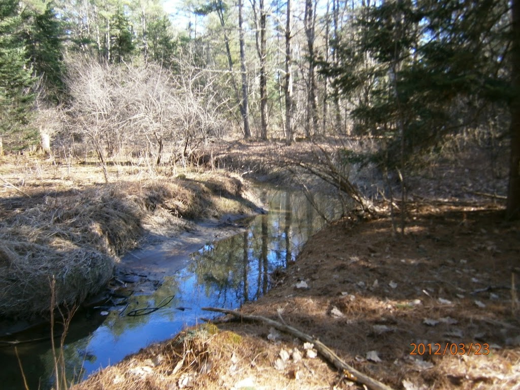
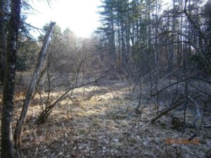
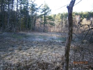
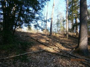
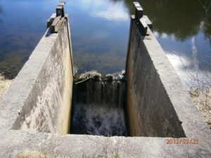
The trail I was on goes through the upland forest that buffers the urban land use in Gorham Village Center from the wetlands at the head of Tannery Brook. Tannery Brook drains into the Little River, then the Presumpscot River, and Casco Bay. Walking through the headwaters of Tannery Brook raises some concerns about what types of land-use are actually found in this upland forest buffer.
 |
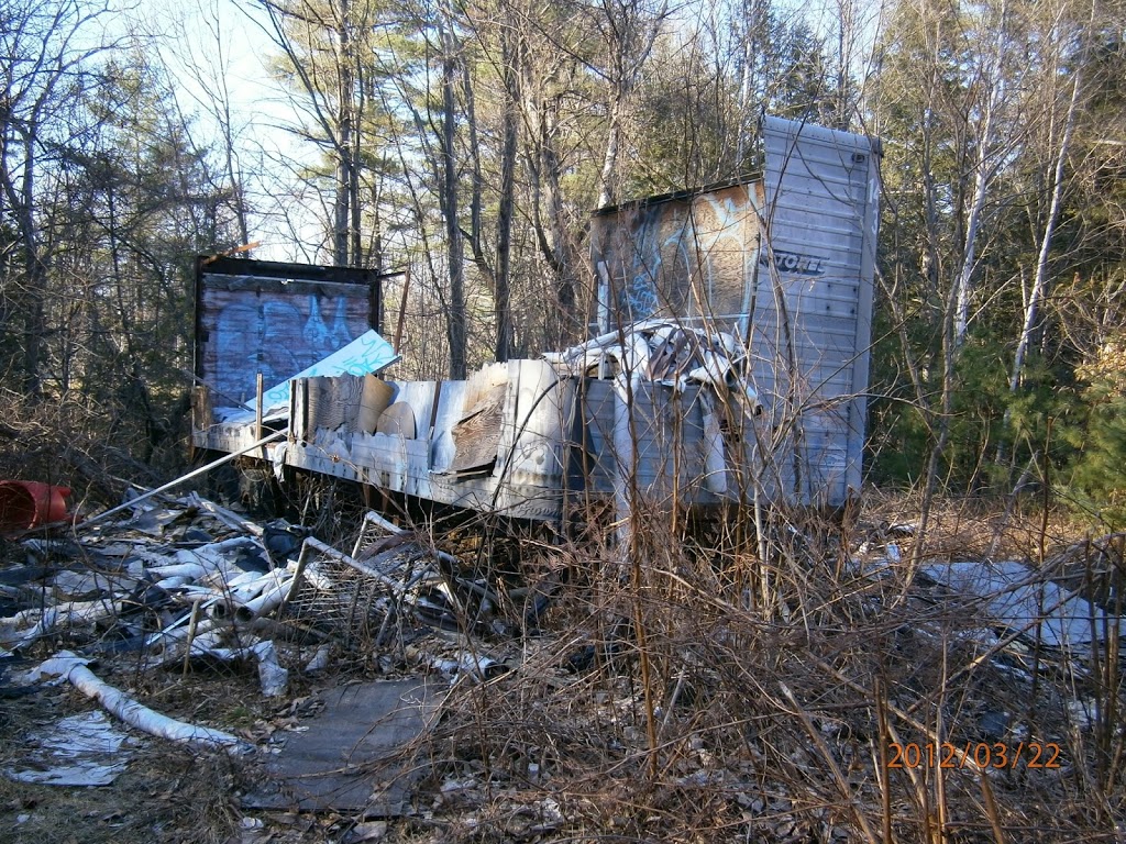
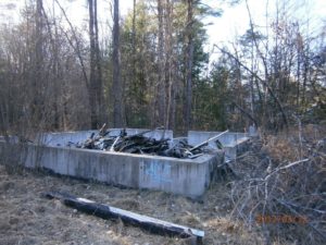
| Picture 1 |
What’s the story here?
 |
| Picture 2 |
In addition to the debris shown in these photos, there was also a lot of old TVs, air conditioners, tires, and other general debris strewn throughout the woods. Some of the drainage channels also had old bicycles in the bottom.
 |
| Picture 3 |
 |
| Picture 4 |
 |
| Picture 5 |
 |
| Picture 6 |
 |
| Picture 7 |
The transition between upland edge and marsh is still fairly pristine, but it’s concerning to see how much debris has been illegally disposed of in the upland edge.
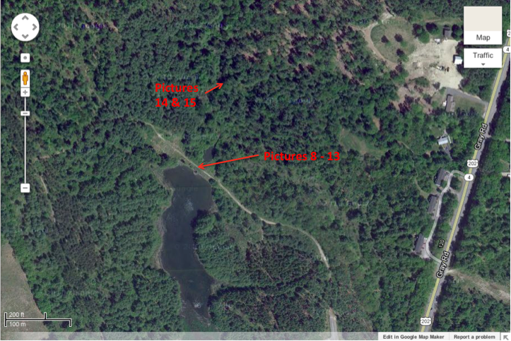
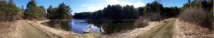
The next day I found the real Tannery Brook Park. The park is located behind the Gorham Savings Bank offices on Gray Road; the land was donated to the town by the bank for the purpose of public recreation.
 |
| Map 3 |
 |
| Picture 8 |
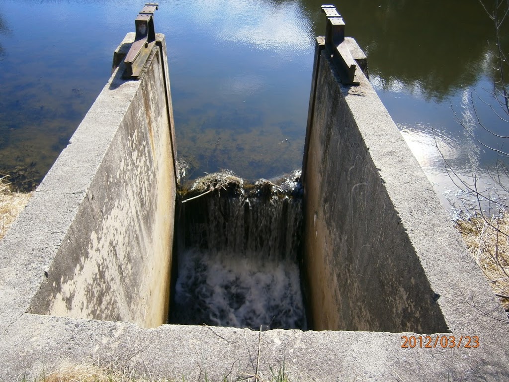
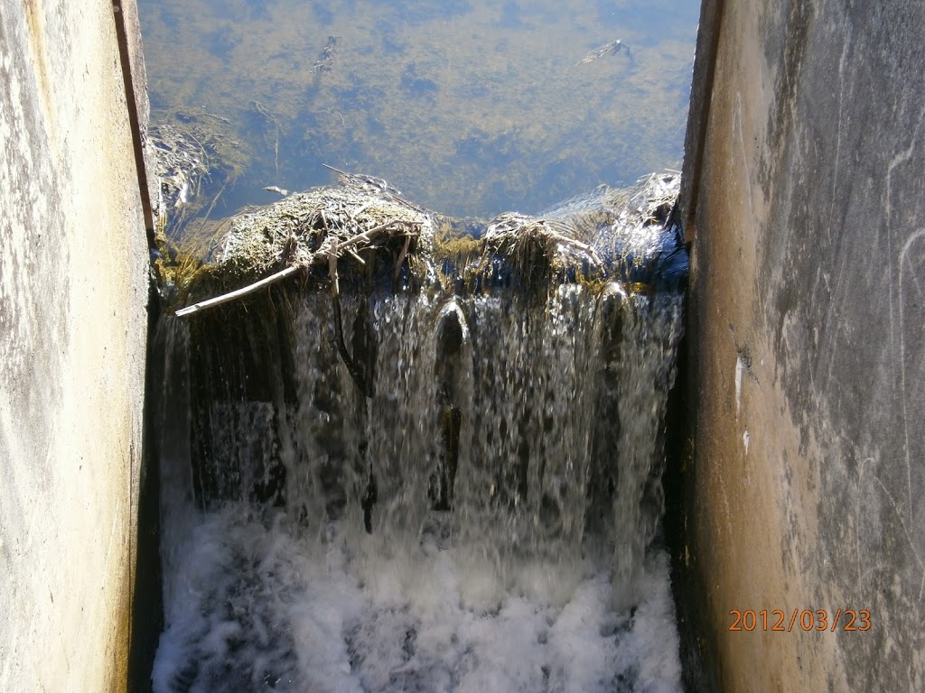
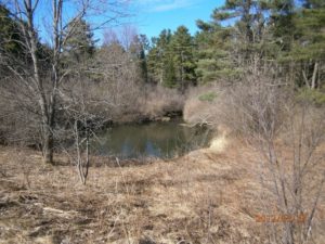
This park is a very pristine area in the middle of an urbanized place.
 |
| Picture 9 |
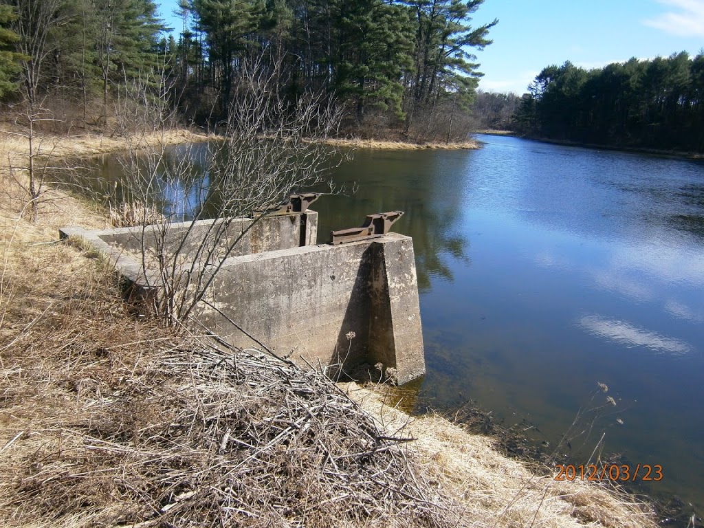
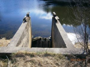
However, when you take a closer look at the shoreline, the impacts of urbanization are visible.
 |
| Picture 10 |
 |
| Picture 11 |
 |
| Picture 12 |
I was reminded of all of the trash and debris I saw in the upland forest on my hike the day before.
 |
| Picture 13 |
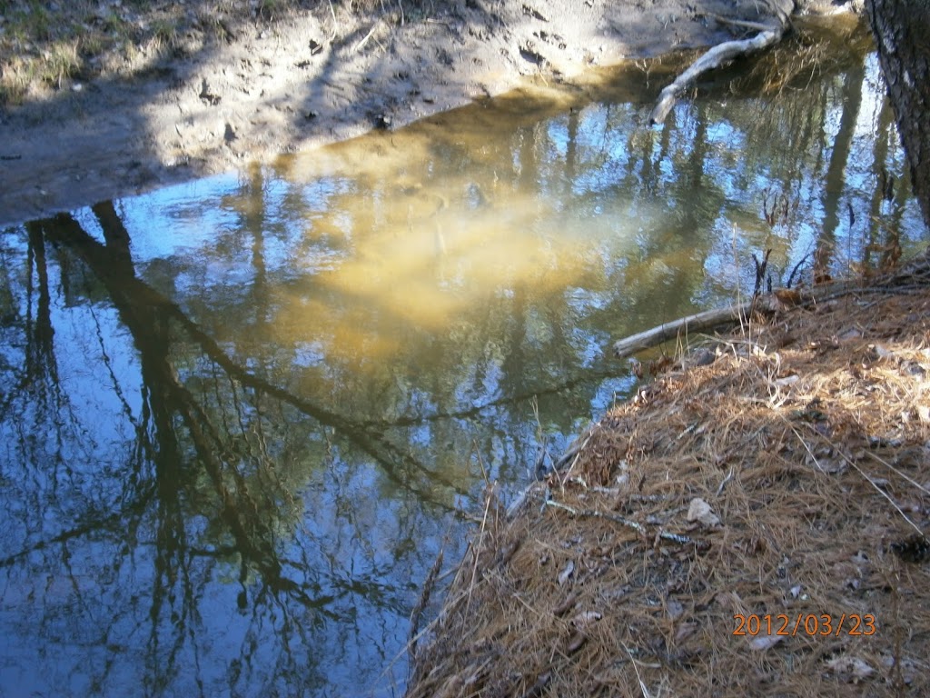
And I also thought how this water continues to flow down stream into the Little River.
 |
| Picture 14 |
 |
| Picture 15 |
Even if we protect the forested buffers around the rivers, does this really protect the rivers from the impact of urban land-use?